Robust, efficient & cost-effective solutions for your business.
ASSET MANAGEMENT SOLUTIONS
ASSET MANAGEMENT SOLUTIONS
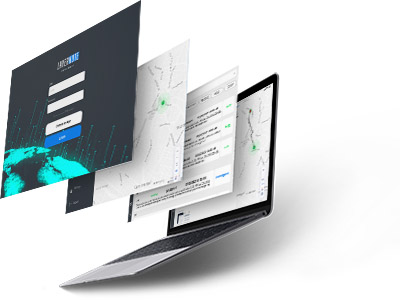
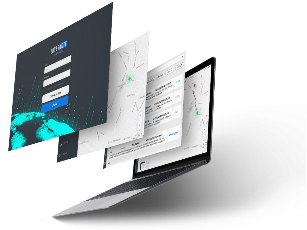
LAYERMARK’s Asset Management Solutions (AMS) go beyond the working principles of a traditional Asset Management System by integrating GIS intelligence in order to provide efficient, scalable, and robust solutions. AMS integrates Geospatial Information Systems, Enterprise Asset Management solutions, and CRM solutions into an all-in-one platform where local governments, municipalities, and utility organizations can track their assets.
KEY FEATURES
KEY FEATURES
- Complete 360-degree Visibility of Field Operations
- Scheduled Corrective & Preventive Maintenance
- Simplified Work Orders
- Online and Offline Capabilities
- Accurate and Updated Asset Data
- Continuous Real-time Reporting
- Efficient Inventory Management
- Informed Decision Making
- Data Quality Checks over Assets
- Enhanced Map Control
With our expertise in Asset Management Solutions, you can find the right balance between risk, cost and business performance.
Field Mobility Solutions Integration
Field Mobility Solution Integration
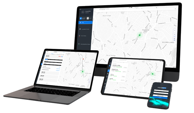
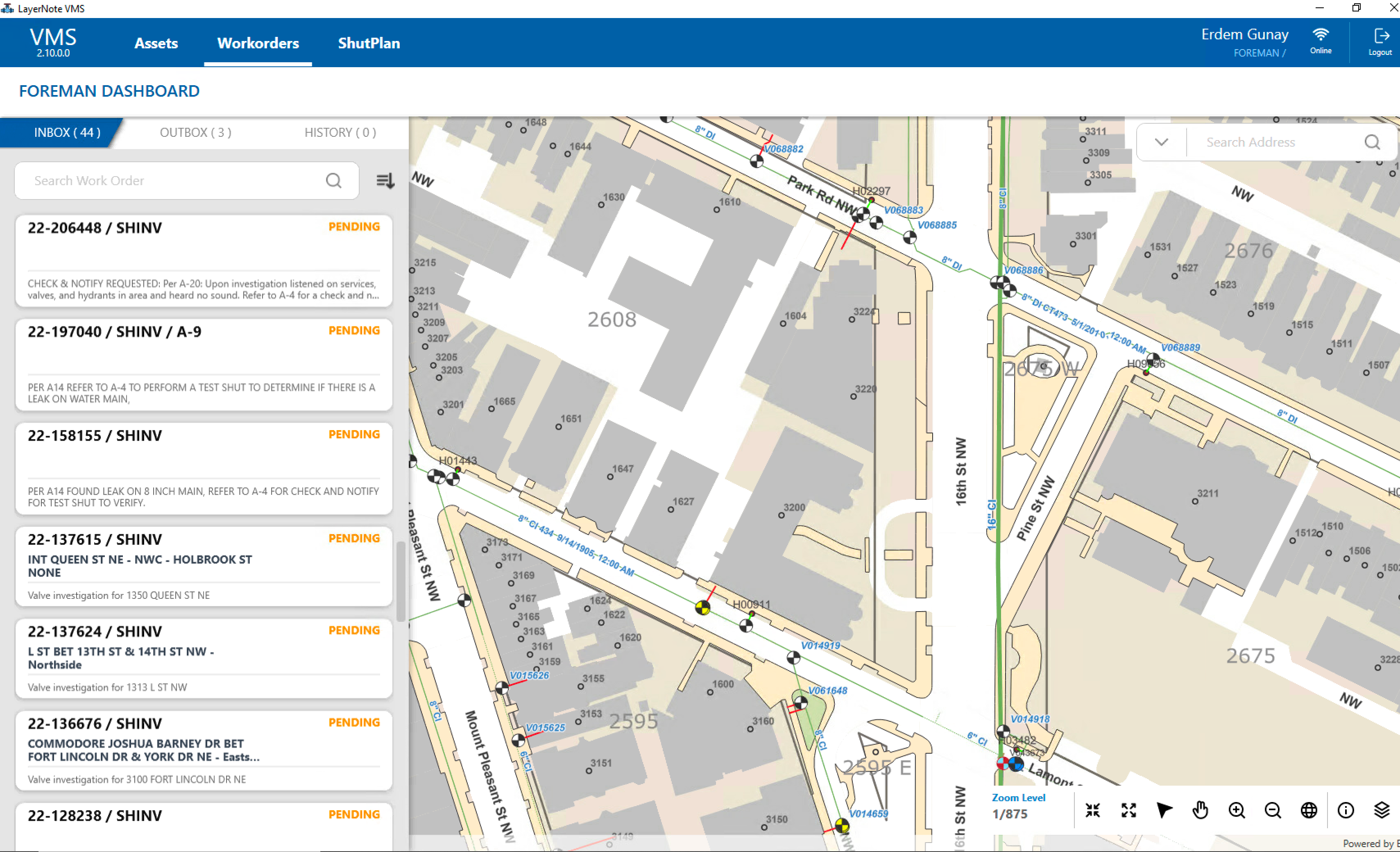
Our Asset Management Solutions contain the Field Mobility Solutions to manage all your assets & work which you can use on any device. The GIS-based Field Mobility Solution enables accurate and effective inspection, cleaning, and preventive maintenance of all kinds of assets with a seamless data transfer flow. In addition, it allows work orders to be created and dispatched to the field crew, who report activities on mobile computers in real-time.
BENEFITS
Customizable Interface
AMS comes with a modern and robust design that is fully customizable and includes a database designer screen and drag and drop style page designer screen. Admins can add or update data tables, construct hierarchical data widgets, and many other customizable widgets – all can be tailored according to the user’s specific needs.

Offline Operations
AMS enables field workers and supervisors to work from anywhere, anytime. Without the need for an active internet to function, workers can seamlessly complete their tasks and update the system. Once an internet connection is established, all the changes are synced with the system.
Leveraging the Maps
Integrating GIS into AMS presents you with the bigger picture, enabling you to monitor your assets based on their geographical location. Get the office and the field working in unison. Leverage the power of location to understand where work needs to be done and effectively coordinate and dispatch resources.
Informed Decision Making
AMS provides users with extensive insights and analytics by visually displaying data, making reporting more accurate and efficient. In addition, analytics enables the business to plan and forecast better for the future, making them more competitive.
Proactive Operations
AMS’s repair and maintenance scheduler enable you to take proactive measures by scheduling reoccurring work orders mitigating the risk of a sudden asset failure. In addition, it enables assets to last longer and function efficiently.
Never Lose Data
AMS uses powerful cloud databases to store the data, eliminating the risk of losing data. In addition, AMS makes your data management simple and accessible, providing you with the freedom to instantly retrieve current and historical data.
INTEGRATION
LAYERMARK’s AMS can be integrated into various work management systems and geospatial solutions such as Maximo, Everbridge, ArcGIS, Geotab, CityWorks and SAP using the LayerExchange platform. Keep asset data up-to-date and unified across your network of solutions
CASE STUDY DC WATER
Find out how we have been collaborating with our Partner DC WATER and learn more about LAYERMARK’s capabilities!


Company Profile
District of Columbia Water and Sewer Authority has the most advanced water treatment technology and associated network management and maintenance in the USA. Today, DC Water delivers about 100 million gallons per day of drinking water to more than 600,000 residents. In the year 2019, it is given that more than 700,000 people are employed in the District of Columbia, and the city has about 17.8 million annual visitors. The water system includes about 1,320 miles of mains, 8 storage reservoirs, and tanks, up to 44,000 valves, and ca. 9,000+ public fire hydrants.


Our Solutions for DC WATER
We delivered an end-to-end integrated, modernized system with associated applications to facilitate business processes and workflows through an enterprise system upgrade. The services include customer service, a stormwater billing solution that integrates a billing system (SAP), and web-based GIS applications for incident/emergency management applications.
These applications include integrating as-built plans for engineering work (modeling/reviews, etc.) and robust Field Mobility Solutions for work order management, which encompasses preventive maintenance, corrective maintenance, investigation, emergency work orders, and others.
We can proudly say that the mobile GIS application we have implemented in one business division has already spread to two more divisions with our ESRI Runtime SDK based mobility solution.

Our Services for DC WATER
- Business process modeling and architecture review and redesign
- GIS system migration and upgrade & update
- GIS analysis, geoprocessing, mapping, and workflow/business process automation
- Custom application modernization and development (web, desktop, and mobile solutions with integration to the associated enterprise systems such as Maximo, SAP, and Oracle Cloud)
- Asset management system upgrade and modernization (IBM Maximo, Cityworks, etc.)
- Field mobility solutions for the maintenance of fire hydrants, catch basins, and valves
- Support of in-house GIS staff and troubleshooting in IBM Maximo, GIS, and database tools whenever needed


THE IMPACT
- A custom-tailored field mobility solution with brand new customizable mobile applications and scalable back-end platforms
- Facilitation of field workers’ assigned maintenance and repair tasks, in order to help reduce their margin of error to zero
- Robust, responsive, user-convenient, and environmentally-friendly operations
- Time needed to enter information while on the field has been reduced from 20 minutes to 3 minutes.
- A total of 1.6 million citizens now benefit from our services.


