Asset Management Solutions

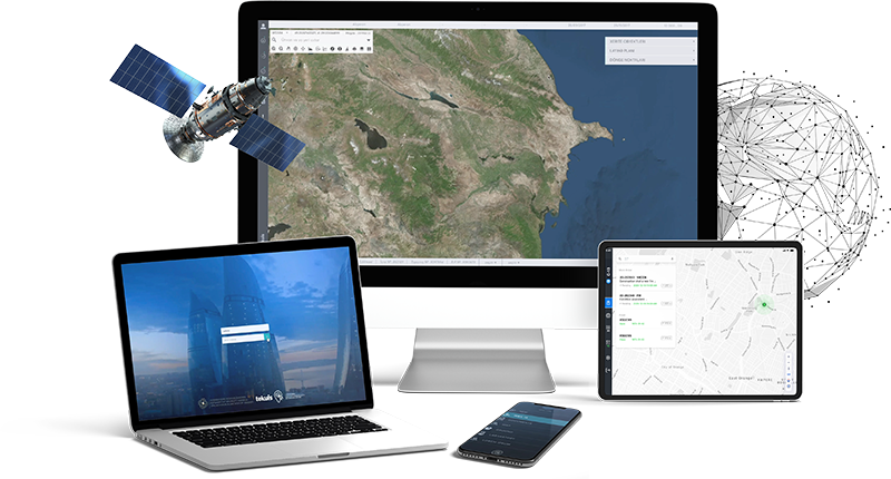
Find out how LAYERMARK created a field mobility solution for DC Water with brand new customizable mobile applications and scalable backend platform providing valuable business services.

Field Mobility Solution

Find out how LAYERMARK created a field mobility solution for DC Water with brand new customizable mobile applications and scalable backend platform providing valuable business services.

Event Management System

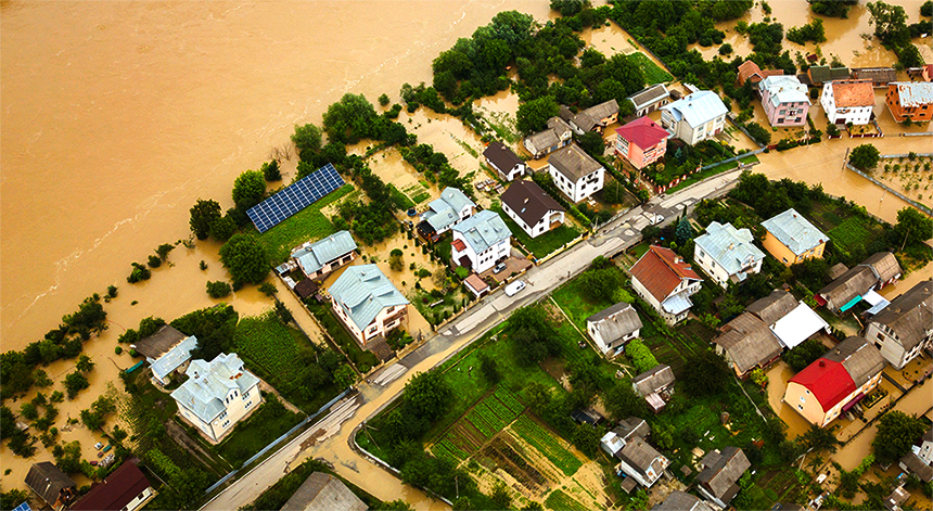
Find out how LAYERMARK created an Event Management System (EMS), as an early warning system for non-routine emergency events allowing a faster response while reducing overall recovery time.

Event Management System

Find out how LAYERMARK created an Event Management System (EMS), as an early warning system for non-routine emergency events allowing a faster response while reducing overall recovery time.

Stormwater Management

With our solution for Impervious Surface Detection, crews can employ Machine Learning (ML) via ArcGIS Pro to find impervious surface changes with our Machine Learning models.

Stormwater Management

With our solution for Impervious Surface Detection, crews can employ Machine Learning (ML) via ArcGIS Pro to find impervious surface changes with our Machine Learning models.

Land Management & Cadastre

Our System uses intelligent targeting and geo-processing algorithms to optimize the determination, protection, operation, and planning tasks for agricultural and cadastral land.

Land Management & Cadastre

Our System uses intelligent targeting and geo-processing algorithms to optimize the determination, protection, operation, and planning tasks for agricultural and cadastral land.

Our Services

GIS Services

We approach to GIS as an ART, taking into consideration/focus small details who others disregard, and focus on small details is what makes difference. Learn more about LAYERMARK’s GIS Services.

IBM Maximo Services

We develop, implement, upgrade and maintain Maximo installations with our IBM Maximo certified experts who are focused on getting you the maximum value of your technology investment.

System Integration

We provide a range of state-of-the-art solutions to federal, state, and local governments. We develop GIS-rich results or can act as consultant-partners for internally developed projects.

CMMI Based Capability Building

All the requirements about CMMI Certification, CMMI Auditing and CMMI Training can be fulfilled by our highly experienced team of CMMI certified Lead Appraisers.

Staff Augmentation Services

We offer on-demand access to a large, highly qualified and selected network of offshore engineering & consulting resources in order to help you reach your business goals.

Geospatial Data Warehousing

Most organizations that maintain large geospatial databases will find new and productive ways to use that data, but maintenance and costs will rise in tandem. We can help you finding the right balance.

The Company

LAYERMARK, a GIS system integrator (Esri Partner) helps clients reveal high ROI benefits by defining GIS solutions that exceed expectations. LAYERMARK beautifully crafts vision-defined GIS solutions and modernizes GIS to pure web coupled with intelligently high-value benefits for the lives of stakeholders. We drill on simple details by applying our expertise to your most challenging obstacles. LAYERMARK is the only GIS-focused solutions provider to apply worldwide known CMMI and PMI quality control & quality assurance practices and methodologies in the GIS area. Execution and delivery are our main goals utilizing Esri technologies.

Contact us & learn more about LAYERMARK’s capabilities!

Arrange Callback